Plate Tectonics
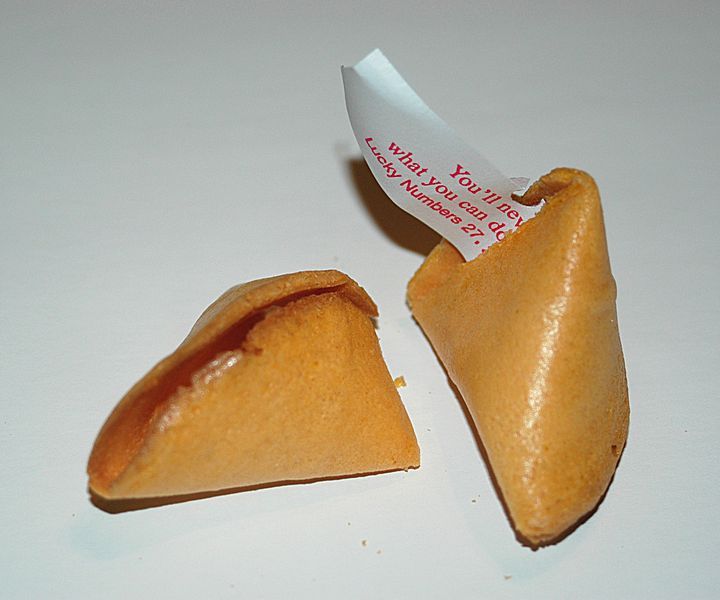
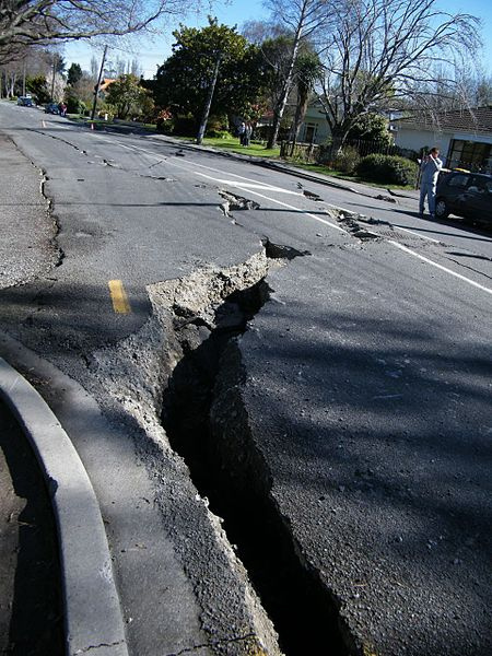
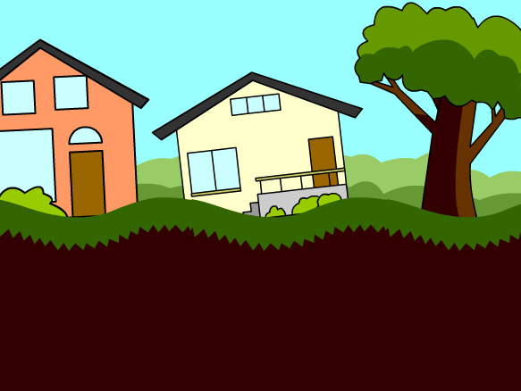
Think about what you have to do to open a fortune cookie. You grab an end in each hand, and then pull until the cookie breaks. The snap you hear is a release of the energy you build up while trying to open the cookie. The same idea applies to earthquake faults. Pressure builds up between two chunks of earth until finally the earth moves, and energy is released.
| |
| |
[chapter 1]
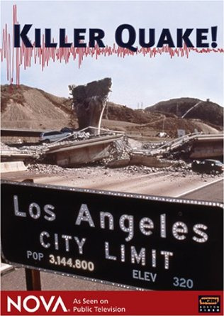
See what happened in Los Angeles in January 1994, right after a large earthquake shook the Northridge area.
Your notes will help you to observe and analyze the aftermath of an earthquake, and how to keep safe.
| |
How safe are you where you sleep? Is there a way to make that area safer?
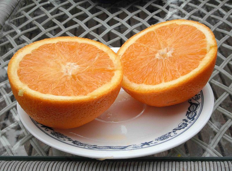
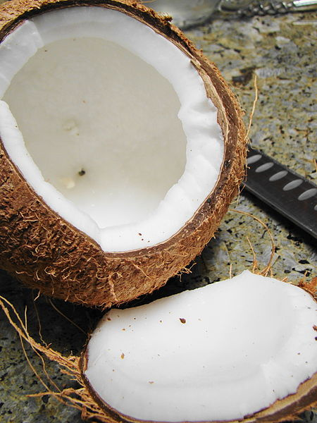
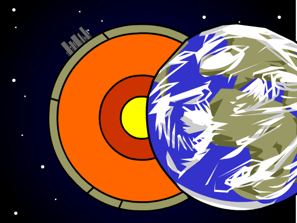
Earth is made up of different layers, just like this orange. Around the outside is a thin layer, so the peel of an orange is similar to the crust of Earth. Underneath that outer layer is a more liquid layer. That would be the juicy part of the orange, which matches up with the mantle. At the very center, things get hard again. The orange has a dense white material, and Earth has a solid core at its center.
| |
You are going to color code and then cut out a model. When folded, it will reveal different facts about the different layers that make up our planet.
| |
| |
| |
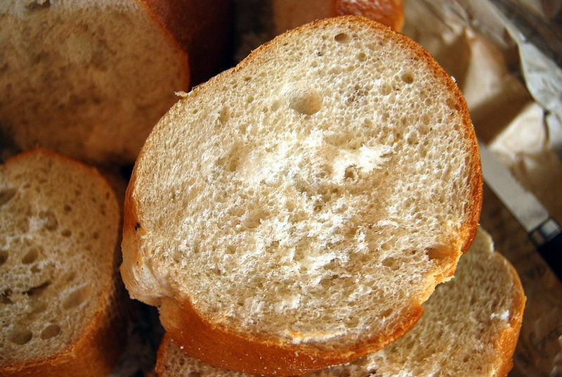
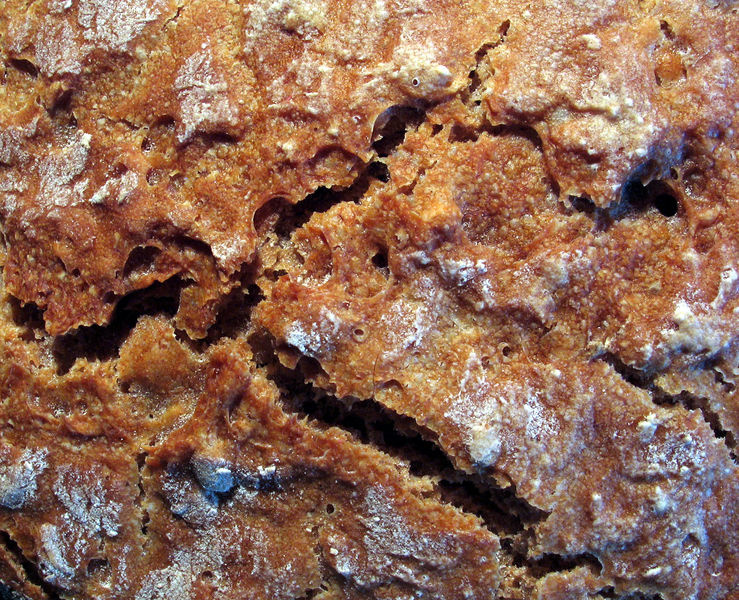
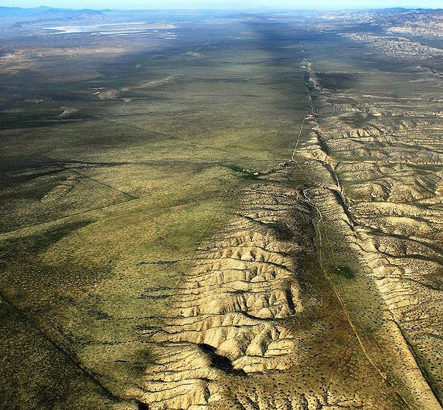
This is an areal view of the San Andreas Fault, running from the bottom right in the picture to the top center. Just like the cracks in bread crust, this fault is formed by two pieces of Earth's crust moving. Look closely and you can see how the mountains on the middle right do not go across the fault. That is because the piece of crust on the left side of the fault is travelling up. Mountains that used to be on the left side of the fault have now been moved to a different location.
| |
Brainpop: Earthquakes
Tim and Moby experience an earthquake, leading Tim to describe how Earth's crust is moving around. Moby freaks out during aftershocks.
| |
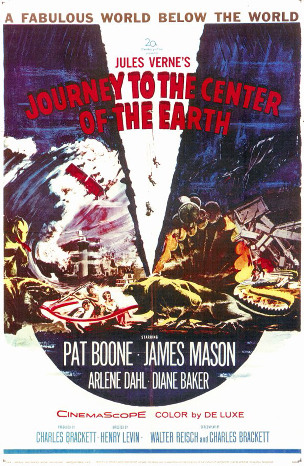
Journey to the Center of the Earth (1959)
This movie is based upon a story written by Jules Verne in 1864. During the time of the novel (and of the movie) very little was known about what Earth was like under the very top of the crust. Scientists made their best guess, based upon the information they were able to collect. For a very long time, the guess was that Earth was hollow. Who knows what could be found there? Dinosaurs? Atlantis? The adventurers had to crawl down inside and extinct volcano to find out.
Click on the poster to see a preview of the movie.
| |
Brainpop: Earth's Structure
Tim describes the characteristics of different layers of Earth. Moby helps by chopping Earth in half.
| |
| |
You are now going to do the same thing. Get the handout from your teacher, along with the 5 map pieces.
Day 1 - Cut out the map pieces. Then click on the USGS link below, and find the list on the right side of the page, titled "Significant Earthquakes, Past 30 Days". Plot these on your map pieces.
Day 2 - Answer the questions on the back.
| |
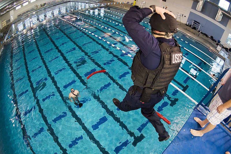
Part of the training in the Coast Guard is to be able to jump off of high places (like a ship) into water far below. Think of the huge splash that will be created. Waves of water will be traveling out from where the person enters the water. Look closely, and you can see these waves moving out from the man already in the pool.
| |
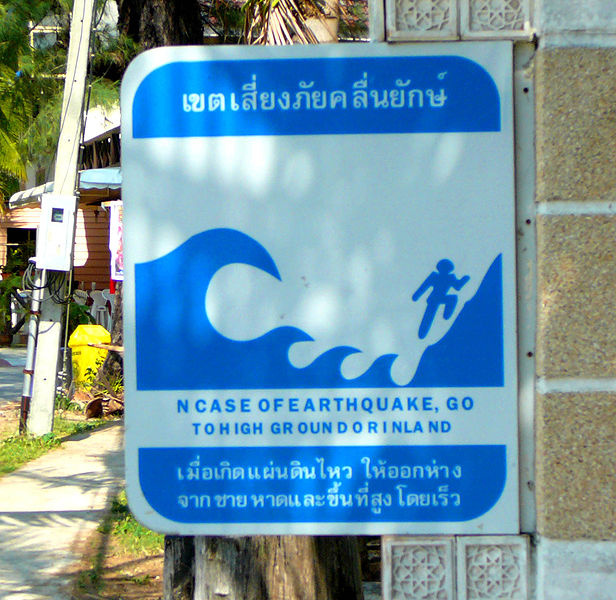
When an earthquake happens underwater, the shifting of the ocean floor can cause huge amounts of water to be moved, just like when someone jumps into a pool. This creates massive waves that can travel for great distances and flood faraway shores. Many island countries have a tsunami warning siren, which tells everyone to get to high ground quickly. This particular sign is in Thailand.
| |
[chapter: Tsunami]
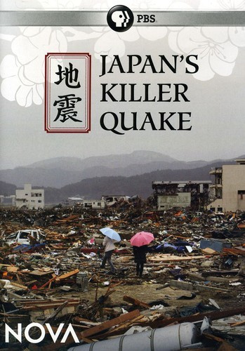
A video clip from this NOVA episode has footage showing how devastating a tsunami can be as it reaches a shore and moves inland.
| |
Brainpop: Tsunami
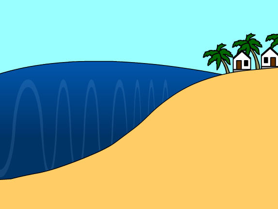
Tim shows diagrams to explain how tsunami waves get so high close to shore. Moby has second thoughts about surfing after learning about tsunamis.
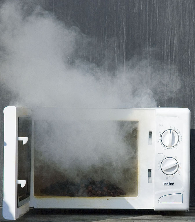
Think about the last time you forgot to add water to a Cup-of-Soup before putting it in the microwave. Or you punched in the cook time as minutes instead of seconds. Lots of foul-smelling smoke was created, and no matter where you were in the house, you quickly realized that the stench was coming from the kitchen.
| |
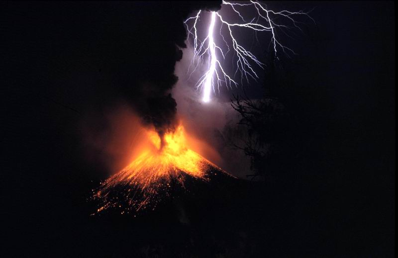
Just like you know where the microwave is where you live (or where the microwave used to be, before you destroyed it), scientists know where volcanoes are. Giant hills or mountains that spew out molten lava and billowing smoke -- how could we not know?
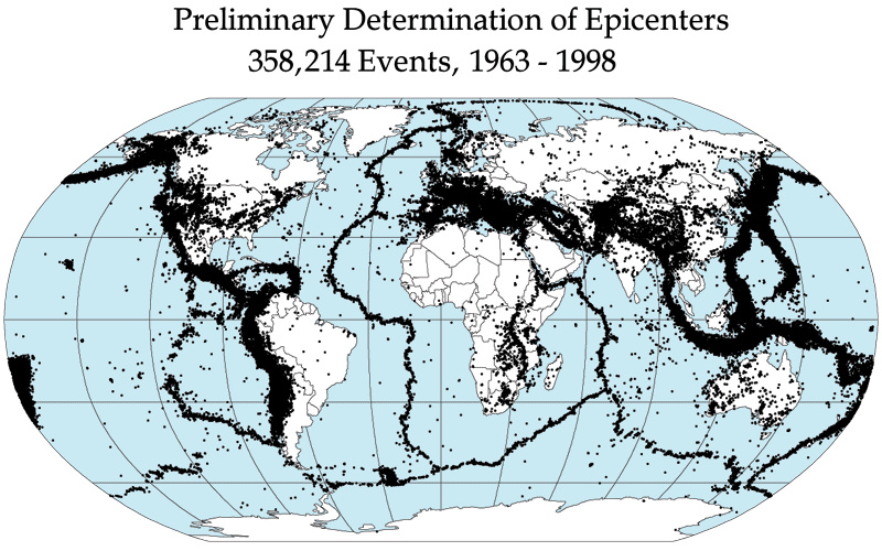
Geologists have discovered that, like earthquakes, volcanoes show up in particular patterns and locations on the globe.
| |
Get the handout from your teacher, and get out the 5 map pieces that you used for plotting earthquakes.
Click on the link below to get your data from the Smithsonian Global Volcanism Program. Scroll down the page, past the map and the table of current eruptions, until you get to where it shows the name and picture of each volcano. Click on the name, and that will take you to a page with a map showing the volcano location.
| |
| |
| |
Case Study: Himalayas
Everest (2015) [chapters 9-11]
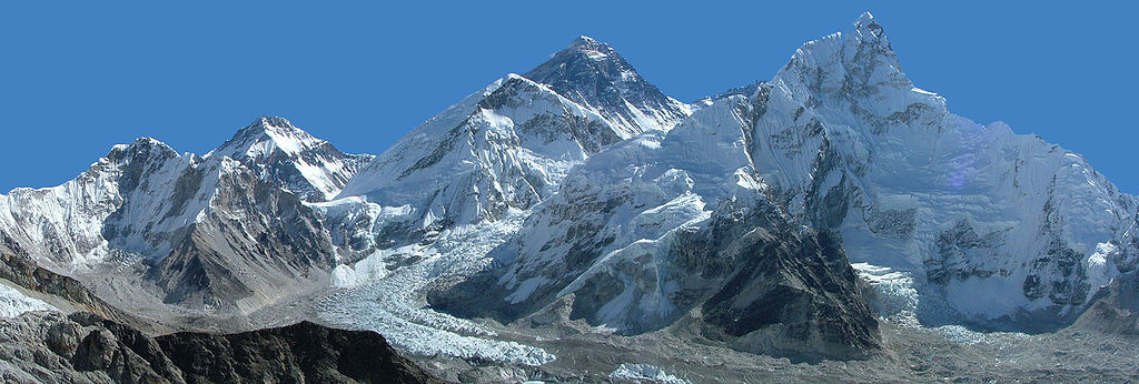
Climbing Mt. Everest in the Himalayas has always been an extremely dangerous undertaking. This is due to the weather, snow, and ice, as well as the reduced amount of oxygen (the mountains are that high). This movie shows what happened during one climbing season, where quite a few adventurers did not survive.
Click on the movie poster to see the preview.
| |
This assignment will help you to visualize what happens when two pieces of continental crust slam together to create mountains. Get the block pieces from your teacher.
| |
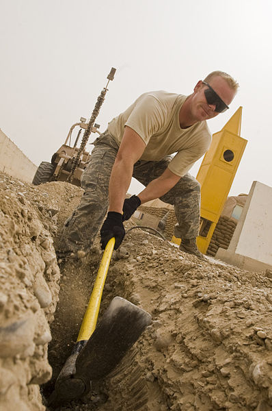
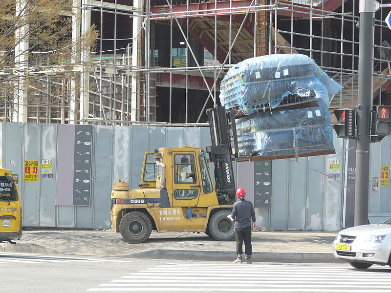
This person is digging what is called a trench, which is a long, narrow hole. In this case, it will be used to hold pipes to transport water and sewage.
| |
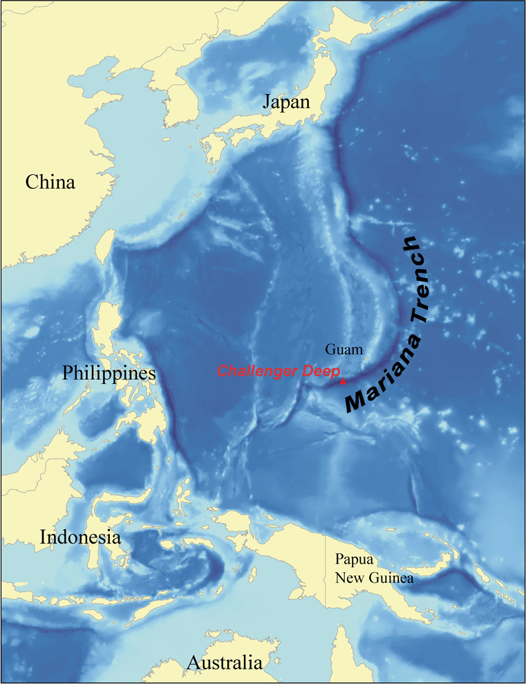
Trenches can occur when one piece of ocean crust slams into and goes under another piece of ocean crust. This creates a trench as the lower piece drags on the bottom of the upper piece. A well-known example of this is found off the coasts of China and Japan. The Mariana Trench is the deepest spot on the ocean floor.
| |
Case Study: Mariana Trench
| |
This assignment will help you to visualize what happens when two pieces of oceanic crust slam together to create a trench. Get the block pieces from your teacher.
| |
| |
| |
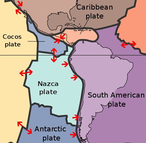
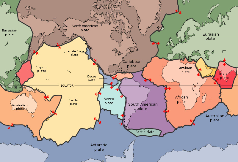
This diagram is an example of how plate movement is commonly shown. Each plate is in a different color. The edges of each plate are outlined by a thick black line. Notice that the outline of the plate does not always go all around the continent. For example, you can see that the South American plate (in purple) includes a large part of the Atlantic ocean on the right. Red arrows indicate the direction that the plates are moving. The Nazca plate (light blue) is made of ocean crust, and is moving towards and under the South American plate. Over time, this collision has created the Andes mountain range.
| |
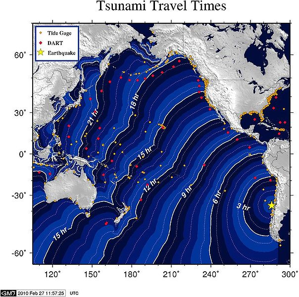
Earthquakes along the west coast of South America can release a lot of energy and move large parts of the sea floor. Such movement creates tsunamis. In this diagram, you can see the waves move outwards from where the earthquake happened (yellow star on west coast of South America). The white lines in the diagram show how much time it will take for the waves to reach that spot in the ocean. Knowing this time is very important, as it can give people in the path of the tsunami enough time to get somewhere that will be safe.
| |
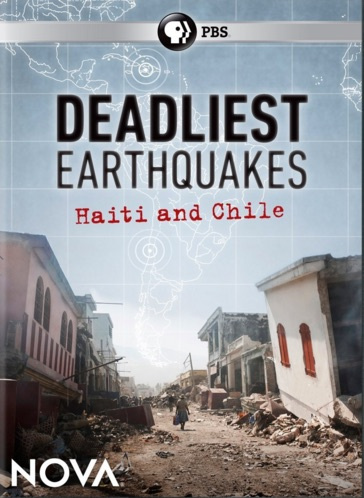
Case Study: 2010 earthquake in Chile
| |
This assignment will help you to visualize what happens when a piece of oceanic crust and a piece of continental crust slam together to create a trench. Get the block pieces from your teacher.
| |
| |
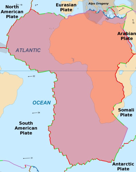
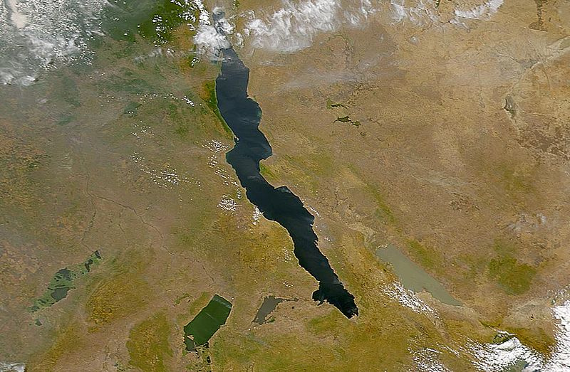
A tear in Earth's crust, caused by plates moving apart, is called a rift. In the diagram, far on the right side, you can see the African plate in pink (underwater) and orange (land). The Somali plate is just visible on the right of the diagram in tan. The boundary between the African plate and the Somali plate is in red, indicating that there is a lot of fault activity there. The rift created there is slowly pulling Africa apart.
| |
| |
Case Study: Africa's Great Rift Valley
| |
This assignment will help you to visualize what happens when pieces of continental crust move away from each other and create a rift. Get the block pieces from your teacher.
| |
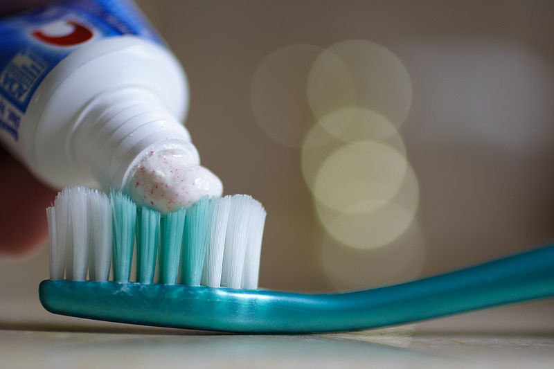
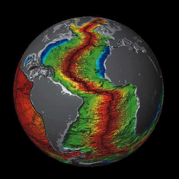
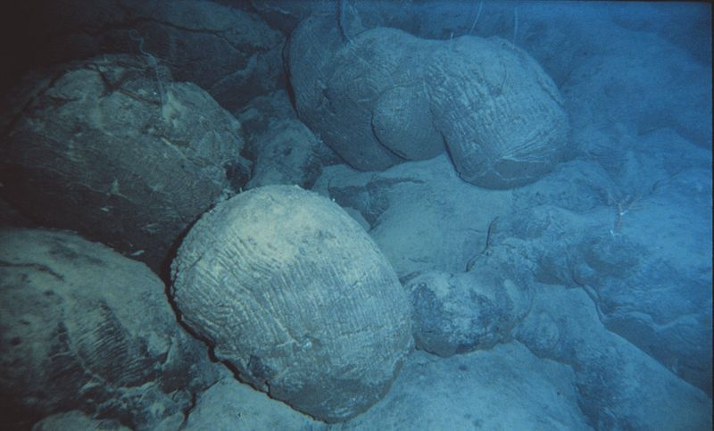
Squeeze a container of toothpaste, and the toothpaste oozes out. Where pieces of oceanic crust pull apart, lava oozes up from the created crack.
| |
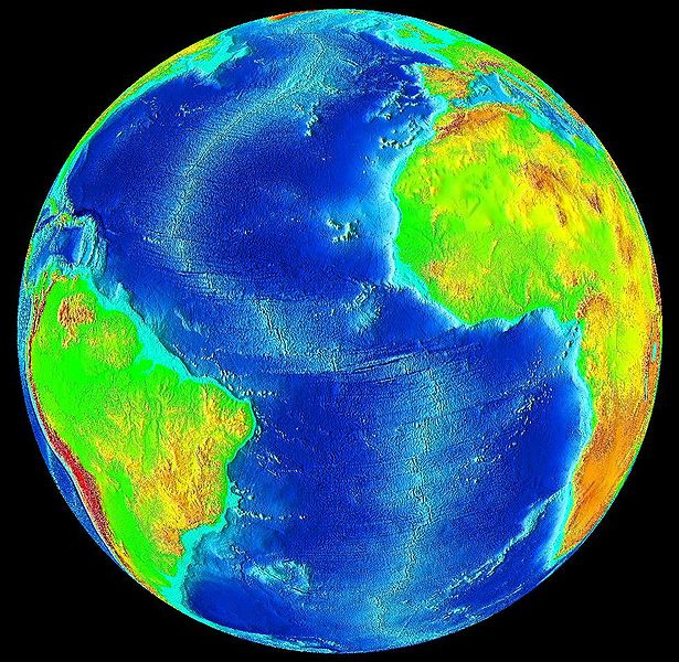
If you look closely at the bottom of the Atlantic Ocean, you can see that there is a line of small mountains there, underwater.
| |
| |
| |
Case Study: Mid-Atlantic Ridge
start at 32 min, go through Chapter 8 - Where Tectonic Plates Meet
| |
This assignment will help you to visualize what happens when pieces of oceanic crust move away from each other and create a ridge. Get the block pieces from your teacher.
Case Study: San Andreas Fault
| |
These assignments will help you to visualize what happens when pieces of crust move alongside each other in opposite directions. Get the block pieces from your teacher.
| |
| |
Brainpop: Plate Tectonics
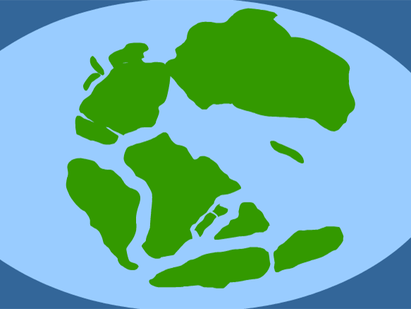
Tim and Moby host the episode from a submarine. Tim presents the different kinds of evidence to show that plates have moved around over time, and what drives their movement. Moby seems awfully calm about a giant squid.
| |
This reading out of your textbook will explain in more detail how plates are able to move around on the surface of Earth.
| |
| |
| |
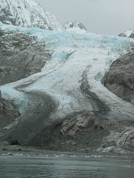
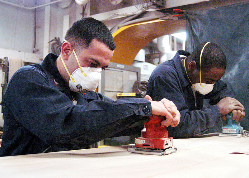
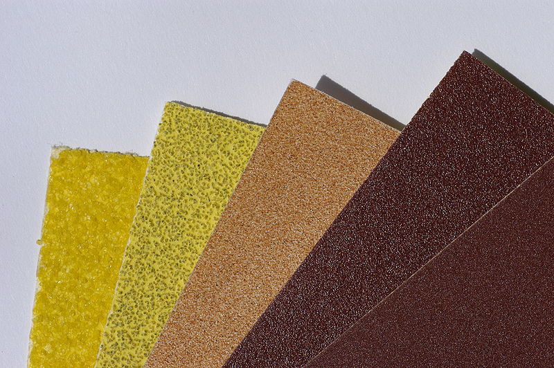
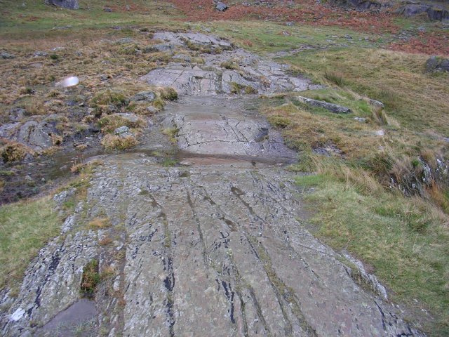
Glaciers act like sandpaper on the rock below them. The ice holds on to rocks and boulders, and slowly drags these materials over the rock underneath. The underlying material is made smoother (this is called glacial polish), or it can be scratched up if big rocks are being dragged over softer ones.
| |
The long scratches made on these smooth rocks show that a glacier has moved over this area in the past. The scratched lines (called glacial striations) show the direction that the glacier was going.
By matching up these polished and scratched rocks with similar features on another continent, we have evidence that the two continents used to be connected before plate tectonics moved them away from each other.
| |
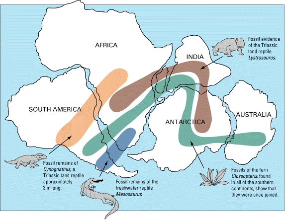
Fossils can also be used to show how plates used to be connected. Animals usually roam over a wide area. By finding fossils of the same kind of animal over several plates, that suggests the plates used to be connected. Plant fossils can also help, as they can show that an area had similar temperatures that allowed that plant to thrive.
| |
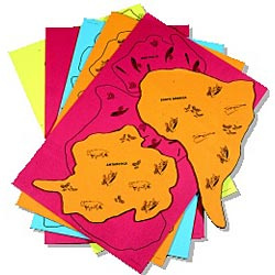
As you work on assignments for this topic, be sure to look at the bulletin boards on the wall. They will have plates with fossils to connect them at different times in Earth's history.
| |
This section of the textbook will show you the evidence collected by scientists that proves the plates used to be connected in different ways.
| |
This lab will have you match up fossils found on different plates to reconstruct what the world looked like when all of the plates were connected together. Your teacher will need to provide you with some of the pages of drawings to cut out.
| |
Now that you have experienced fossil matching yourself, you'll make a flip book that shows how plates have moved over time. Scientists have already done the hard work for you, figuring out how fossils and rocks have matched to put the plates in each of the different arrangements. You will need to get the flip book cards from your teacher.

